Rare Book Monthly
Book Catalogue Reviews - December - 2010 Issue
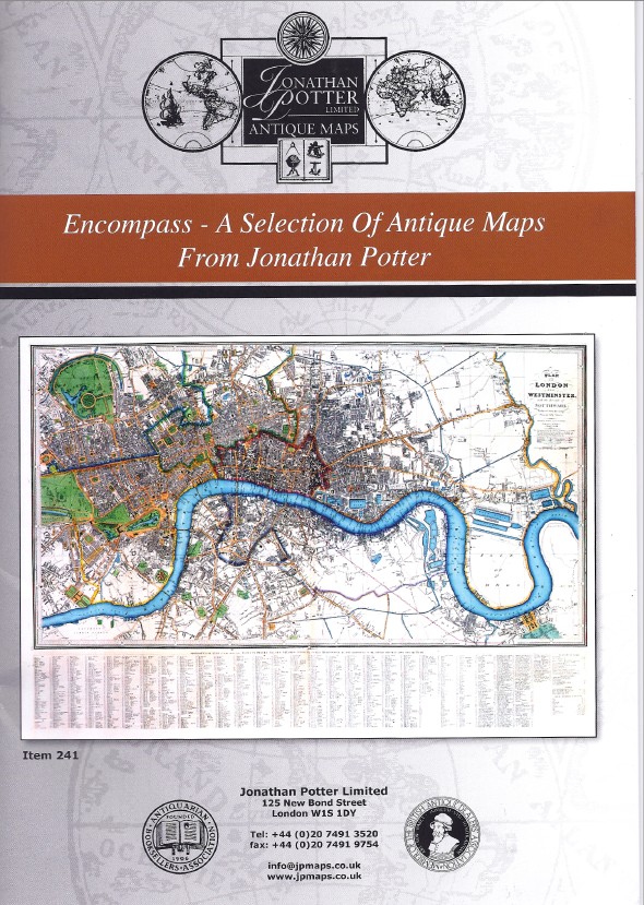
Fine Antique Maps from Jonathan Potter Limited
The winter catalogue from Jonathan Potter Limited.
By Michael Stillman
Jonathan Potter Limited has issued a new catalogue, Encompass - A Selection of Antique Maps From Jonathan Potter, dated Winter 2010 / 2011. Potter recognizes the fragility of printed presentations in the internet age, noting that despite the cost and time needed to deliver a catalogue on paper, "we remain convinced that an illustrated catalogue is the best way of maintaining contact with librarians, decorators and collectors." We too recognize that the centuries-old presentation of a catalogue on paper is for many the clearest way of displaying material, though its long-term survivability is by no means beyond question.
The maps here offered mostly range from almost two centuries to five centuries old. It is divided into regions, Europe, Asia, Africa, the New World and the British Isles. Some are of the entire world, while there is a collection of maps in the Welsh language, a very strange looking combination of letters for those used to Romance languages. Finally, there is a section of caricature maps, displaying cartoons, generally of political figures, which encompass maps. Here are a few selections from the almost 300 maps presented.
We will start with the oldest map offered, the world map from Hartmann Schedel's Nuremberg Chronicle. This book covered the history of the world, up to the present, which was 1493. Well, not quite the present, as every schoolchild knows that Columbus sailed in 1492, but there is no America on this map. This is a last look at the world as known for centuries if not millennia, the traditional Ptolemaic view. The world then consisted, to Europeans, of Europe, North Africa, and part of Asia. The Indian Ocean is shown as an enclosed sea, bounded by a landmass connecting southern Africa with East Asia. This map is taken from a Latin edition of Schedel's work. The world would soon be in for some drastic changes, displayed on the maps which follow. Item 1. Priced at £14,000 (British pounds, or approximately $22,340 U.S. dollars).
From this erroneous map we go to a "correct" one, Herman Moll's A New And Correct Map Of The World, circa 1709. Of course, "correct" is a relative term here, in times in need of correction itself. One of the most notable errors, typical of maps of the turn of the 18th century, is the depiction of California as an island. The map was supposed to have been compiled from the "newest observations," but this was a fiction no one ever observed. Item 8. £4,800 (US $7,657).
Item 45 is an interesting map for those whose interests run to technology. It's a map of Europe produced by the Electric and International Telegraph Company in 1856. There wasn't much in the way of electric service available in 1856 but there was telegraphic communications. This would be fairly early as Samuel Morse only demonstrated his invention about 15 years earlier. Nonetheless, Europe was already significantly wired by this point. This map shows the lines in place throughout Europe along with the location of telegraph stations. Insets on the main map show extended lines, all the way to Sweden and St. Petersburg. £480 (US $765).
Rare Book Monthly
-


Dominic Winter Auctioneers
Printed Books, Maps & Wisdens, English Bibles
1500-1800
22nd July 2026Dominic Winter, July 22: Lot 83 – Westall & Owen. Picturesque Tour of the River Thames, 1st edition, 1828. £2,000-3,000.Dominic Winter, July 22: Lot 88 – Blume. Rumphia, Botanicae de plantis Indiae Orientalis, 1835-1848. £2,000-3,000.Dominic Winter, July 22: Lot 101 – Michaux. Histoire des arbres forestiers de l'Amérique septentrionale, 1810-1812. £700-1,000.Dominic Winter Auctioneers
Printed Books, Maps & Wisdens, English Bibles
1500-1800
22nd July 2026Dominic Winter, July 22: Lot 102 – Miller & Shaw. Cimelia Physica, 1796 [but c. 1816]. £3,000-5,000.Dominic Winter, July 22: Lot 104 – Parkinson. Theatrum Botanicum: The Theater of Plants, London: Thomas Cotes, 1640. £800-1,200.Dominic Winter, July 22: Lot 159 – Plancius. Orbis Terrarum..., double hemisphere map, 1594-99. £5,000-8,000.Dominic Winter Auctioneers
Printed Books, Maps & Wisdens, English Bibles
1500-1800
22nd July 2026Dominic Winter, July 22: Lot 217 – Illuminated Medieval Manuscript. From a Breviary, 14th/15th c. £3,000-4,000.Dominic Winter, July 22: Lot 224 – The newe Testament … By Wylliam Tyndall…, 1549. £3,000-5,000.Dominic Winter, July 22: Lot 238 – Douay-Rheims Bible. 3 volumes, 1582/1609/1610. £7,000-10,000.Dominic Winter Auctioneers
Printed Books, Maps & Wisdens, English Bibles
1500-1800
22nd July 2026Dominic Winter, July 22: Lot 336 – Ashendene Press. A Treatyse of Fysshynge with an Angle, 1903. £1,000-1,500.Dominic Winter, July 22: Lot 393 – Sassoon. Memoirs of an Infantry Officer, signed limited edition, 1931. £800-1,200.Dominic Winter, July 22: Lot 402 – Dylan Thomas. Twenty-Five Poems, 1st edition in d.j., 1936. £400-600. -


-


. <I>A New boke of the natures and properties of all wines that are commonly vsed here in England,</I> rare first edition of the first English book on wine, By William Seres, 1568. £20,000-£30,000")
. <I>The Faerie Queene.</I> first edition, Printed [by John Wolfe] for William Ponsonbie, 1590. £30,000-40,000")
. <I>The Comedie of Errors,</I> extracted from the first folio, Isaac Jaggard and Edward Blount, 1623. £15,000-20,000")

. <I>Casino Royale,</I> first edition, signed presentation inscription from the author, 1953. £40,000-60,000")
. <I>Anatomie de la Tête,</I> first edition, Paris, chez le Sieur Gautier, 1748. £10,000-15,000")
. 'Praying Mantis style' Kung Fu book, containing numerous annotations, diagrams and graphs in Bruce Lee's hand, c. 1960. £50,000-70,000")

. <I>Sketches in North America and the Oregon Territory,</I> first edition, rare hand-coloured issue, 1848. £30,000-40,000")
. <I>The Marine Atlas, or Seaman's Complete Pilot for all the principal places in the known world...,</I> 1826. £30,000-50,000")

Forum Auctions
The 10th Anniversary Sale
Fine Books, Manuscripts and Works on Paper
July 16, 2026Forum, July 16: Inundation papyrus. P.Michael 4, the ‘Inundation papyrus’, a geographical account of the Nile near Canopus, in Greek, remains of two columns from a manuscript scroll on papyrus, Egypt, second century CE. £12,000-18,000Forum, July 16: Book of Hours, use of Sarum, manuscript on vellum, 6 full-page miniatures, with famous Middle English inscriptions, Southern Netherlands for the English market, [c.1430]. £30,000-50,000Forum, July 16: Qu'ran, Arabic manuscript on burnished, stencilled, and gold-flecked paper, 447ff., Sultanate Gujarat, Ahmadabad, [after 1411 but no later than 1442]. £15,000-20,000Forum Auctions
The 10th Anniversary Sale
Fine Books, Manuscripts and Works on Paper
July 16, 2026Forum, July 16: Turner (William). A New boke of the natures and properties of all wines that are commonly vsed here in England, rare first edition of the first English book on wine, By William Seres, 1568. £20,000-£30,000Forum, July 16: Spenser (Edmund). The Faerie Queene. first edition, Printed [by John Wolfe] for William Ponsonbie, 1590. £30,000-40,000Forum, July 16: Shakespeare (William). The Comedie of Errors, extracted from the first folio, Isaac Jaggard and Edward Blount, 1623. £15,000-20,000Forum Auctions
The 10th Anniversary Sale
Fine Books, Manuscripts and Works on Paper
July 16, 2026Forum, July 16: Fleming (Ian). Casino Royale, first edition, signed presentation inscription from the author, 1953. £40,000-60,000Forum, July 16: d'Agoty (Jacques-Fabien Gautier). Anatomie de la Tête, first edition, Paris, chez le Sieur Gautier, 1748. £10,000-15,000Forum, July 16: Martial Arts.- Lee (Bruce). 'Praying Mantis style' Kung Fu book, containing numerous annotations, diagrams and graphs in Bruce Lee's hand, c. 1960. £50,000-70,000Forum Auctions
The 10th Anniversary Sale
Fine Books, Manuscripts and Works on Paper
July 16, 2026Forum, July 16: Warre (Capt. Henry James). Sketches in North America and the Oregon Territory, first edition, rare hand-coloured issue, 1848. £30,000-40,000Forum, July 16: Norie (John William). The Marine Atlas, or Seaman's Complete Pilot for all the principal places in the known world..., 1826. £30,000-50,000Forum, July 16: Mao Tse-tung.- Kim Il-sung.-[Note book for visitors from China to Korea], signed by Mao and Kim, [Beijing, 1954]. £10,000-15,000 -


Case Auctions
2026 Summer Auction
August 1st and 2ndCase Antiques, Aug. 1: Timberlake, Henry: A DRAUGHT OF THE CHEROKEE COUNTRY on the West Side of the Twenty Four Mountains, Commonly Called "Over the Hills". $18,000 to $22,000.Case Antiques, Aug. 1: Manuscript orderly book detailing day to day activities of multiple Virginia regiments in the Continental Army during the Revolutionary,1776-1777. $7,000 to $8,000.Case Antiques, Aug. 1: Cormac McCarthy, The Orchard Keeper, Random House, New York, 1965. Signed 1st Edition. $3,800 to $4,200.Case Auctions
2026 Summer Auction
August 1st and 2ndCase Antiques, Aug. 1: Battle of Kings Mountain Pamphlet by Isaac Shelby, April 1823, Signed. $1,800 to $2,200.Case Antiques, Aug. 1: Large Tintype CSA Lt. Col. Thomas Coke Johnson, 19th GA, w/ Southern Cross, Book. $1,400 to $1,800.Case Antiques, Aug. 1: Rare Civil War Ambrotype, 19th GA Infantry with Johnson Family of GA. $800 to $1,200.Case Auctions
2026 Summer Auction
August 1st and 2ndCase Antiques, Aug. 1: A signed note written by Thomas Alva Edison to an unknown recipient, in which he shares his thoughts on Guglielmo Marconi, regarded as the inventor of the radio. $800 to $1,200.Case Antiques, Aug. 1: Rare 1931 TN Grasslands Steeplechase Book, Gallatin. $800 to $1,000.Case Antiques, Aug. 1: War of 1812 related Broadside, Petersburg Volunteers. $700 to $800.Case Antiques, Aug. 1: 2 World War I Posters, “Our Colored Fighters” and “No Slacker”. $800 to $1,000.