Tessier & Sarrou and Associates: Books and Manuscripts, 174504, Paris
Auction Details
- Auction Date
- April 16, 2026 - April 16, 2026
-
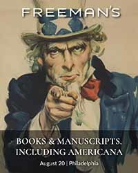
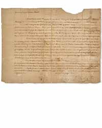
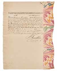
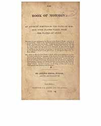
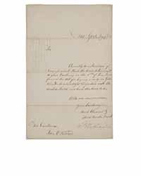

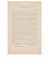 Freeman’s, August 20. President Washington Reaffirms the US Treaty of Friendship and Peace with Morocco, the Longest Unbroken Treaty in US History. $50,000 – 80,000.Freeman’s, August 20. Weeks After Victory at Yorktown, Benjamin Franklin Promises Repayment of a French Loan that Funded the American Revolution. $200,000 – 300,000.Freeman’s, August 20. Rare First Edition of the Foundational Text of the Mormon Church. $100,000 – 150,000.Freeman’s, August 20. President Washington Sends the First Major Law Passed by Congress, the Tariff Act of 1789. $100,000 – 150,000.Freeman’s, August 20. A Scarce Example of Audubon's Depiction of a Brown Pelican, Plate CCLI from his Birds of America. $30,000 – 50,000.Freeman’s, August 20. The Official and First Obtainable Broadside Printing of the Lincoln's Final Emancipation Proclamation. $30,000 – 50,000.
 -