Maps from the Age of Exploration from the Arader Galleries

Maps from the Age of Exploration from the Arader Galleries
By Michael Stillman
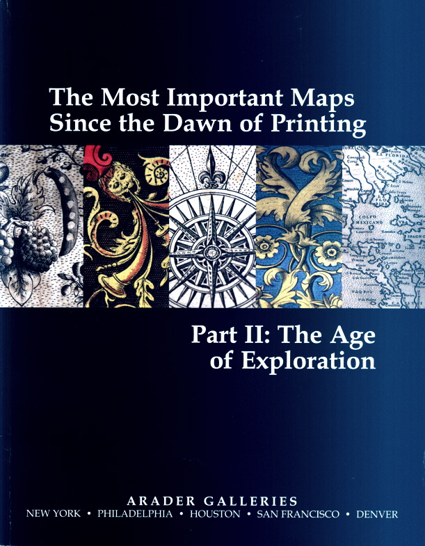
The Arader Galleries has issued the second of their three-part series on the greatest maps ever published: The Most Important Maps Since the Dawn of Printing. Part II: The Age of Exploration. The Age of Exploration was a roughly three-century period, beginning in the late 15th century with Columbus, and ranging to the late 18th century, when Captain Cook and others put the finishing cartographic touches on most of the significant continental and island boundaries in the world. Of course, there was still much interior exploration to do, and that will be the focus of Part III. Still, the Age of Exploration was not without its explorers of interior lands. The majority of the maps in this catalogue (though certainly not all) are from North America, and interior explorers such as Champlain are covered. There are maps from Russia and India, the Mediterranean, and Ottoman Empire, and, naturally, of the entire world, among others, but we will focus primarily on a few of the items which pertain to America.
There is no better starting place for collectors of American maps than the Tabula Terre Nove from Martin Waldseemuller's 1513 atlas. This was certainly the best map of the "New World" at the time, produced within the first two decades after its discovery. Certain features are clearly recognizable today, such as the northeastern part of South America, Florida and the Gulf of Mexico, the eastern coast of North America, and the islands of Cuba and Hispaniola. Waldseemuller's calling the land the "New World" is interesting. In his map of 1507, known in only one copy, he had called it "America," most likely because he believed it had been discovered by Amerigo Vespucci. Here, he drops that name, and says the map is based on observations by the "Admiral," believed to be Christopher Columbus. He apparently was correcting an earlier mistake, but it was too late. The name "America" stuck. Item 50. Priced at $350,000.
By 1540, far more was known about the shape of the Americas. Sebastian Munster's Novae Insulae XVII Nova Tabula, from his version of Ptolemy's Geography, was the first map to depict North and South America as separate continents. This map ranges all the way from the edge of Greenland to the tip of Antarctica. Both of the American continents are clearly recognizable, and several place names still used today can be found, such as Florida, Cuba, Jamaica, Hispaniola, and the Strait of Magellan. However, a few errors can be found, such as the mythical inland sea in the North American continent ranging almost all of the way from the Pacific to the Atlantic, and the presence of the island of Zipangi (better known today as Japan) off the shore of California. $19,000.
Item 52 is a complete set of the first account of the major travels of the 16th century from Giovanni Ramusio. Offered is a fifth edition of volume 1, fourth of volume 2, and third of volume 3 (from 1606) of Delle navigationi et viaggi. There was to be a fourth volume, but Ramusio's death in 1557 prevented its completion. This includes not only the voyages that headed west to the New World, but those that headed east as well, including his version of the travels of Marco Polo. It contains his 1556 map of the Americas (generally believed to have been created by Giacomo Gastaldi), which Arader notes is "the earliest map to depict the Americas accurately." $250,000. The map of the Americas is also offered separately as item 53. $36,000.