American Maps and Prints from High Ridge Books
- by Michael Stillman
American Maps and Prints from High Ridge Books
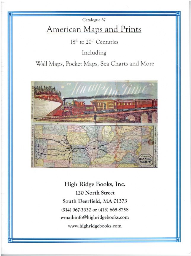
High Ridge Books has issued a catalogue of American Maps and Prints, 18th-20th Centuries Including Wall Maps, Pocket Maps, Sea Charts and More. Most of the over 200 items are maps, but there are numerous city views and such from the category of prints. The oldest map dates to 1591, the most recent to 1963. Most are from the 19th century. Those that were meant for travelers, the preponderance being from the 19th century, are most often railroad maps. A few automobile maps do appear as we turn to the 20th century. While there are many maps of a more local nature, from state maps to county, community, and even those of an individual farm, we will limit our descriptions to a few of those maps of a broader scope.
We start with the oldest map in this collection, Floridae Americae... Jacques Le Moyne's map of Florida. It accompanied De Bry's 1591 account of Florida. In 1564, a group of French Huguenots attempted to form a settlement in northern Florida. Among them was the mission's official artist and cartographer, Jacques Le Moyne. The settlers moved north for a while, but then returned to Florida. Unfortunately, relations with the local Indians, at first amicable, turned sour. Meanwhile, the Spanish at St. Augustine were fearful of French aims in the area and decided they needed to be rid of them. With no friends and insufficient manpower, they were overrun by the Spanish, who slaughtered everyone they could find. A few managed to escape and make their way back home, one of whom was Le Moyne. His map would be influential for a long time, some of its errors maintained in maps as late as the 18th century. Florida is clearly recognizable in Le Moyne's map, though the bottom is cut off as a straight line, rather than rounded as we know it. There are several large lakes visible, one likely being Lake Okeechobee, the others mythical. One is fed by a large waterfall, which perhaps was inspired by Indian accounts of Niagara Falls. Item 1. Priced at $18,500.
If you were looking to travel around the U.S. in 1846, this would have come in handy: A New Guide for Travelers through the United States of America; Containing All the Railroad, Stage and Steamboat Routes, by J. Calvin Smith. It contains an important map of America at a time when people were just beginning to make the far western journey to Oregon. An inset map shows Oregon and California (the latter not yet part of the United States). Of particular note is that the map shows Dallas. That city was founded in 1846, and the bookseller says that based on their knowledge and research, this is likely the first printed map to display Big D. Item 66. $4,250.
Charles Magnus emigrated from Germany in the 1840's. He at first published a German language newspaper, but later dedicated his printing skills to lithographs, with views and maps his specialty. He was particularly noted for his lithographs during the Civil War era, a patriotic Union supporter was he. Item 115 is Magnus' Battle of Gettysburg, PA. July 3rd 1863. (The Third Day). It is drawn, naturally enough, from the Union side, aimed toward Pickett's Charge. Magnus' work is hand-colored, and features some bright (High Ridge says "garish") yellow and orange emanating from the exploding cannons. This image would certainly help to redouble the dedication in every Union patriot's heart who saw it. $2,000.
Winfield Scott, the long serving general who was a military commander from the War of 1812 through the Civil War, is still reasonably well remembered. Less so is his namesake Winfield Scott Hancock. Still, Hancock was an admired general, noted particularly for his service at the aforementioned Gettysburg. His unsuccessful run for the presidency came much closer to fruition than did Scott's doomed attempt. That leads to some question over the timing of this undated print, headed Hancock at Gettysburg. It displays Hancock astride his horse, surrounded by soldiers, some wounded, others still active in battle. It was created by Franklin D. Briscoe, and High Ridge believes it is circa 1866. However, they also note, it may have been produced for his presidential campaign in 1880, when Democrat Hancock was edged out by James A. Garfield. Item 119. $2,750.
Hancock carried the South, largely because, though an ardent Unionist, after the war he was sympathetic to returning the South quickly to civilian (effectively white) control. Indeed, his Democratic Party had little sympathy for blacks in the day, yet in Georgia as late as 1894, we find Democrats seeking the black vote. Item 169 is a broadside headed, Colored Voters Read. It proclaims that Negro schools in Georgia are treated generously by the Democrats, receiving three times as much in financial support as the community pays in (not terribly surprising considering the poverty in which most blacks lived). Why was the normally hostile Democratic Party so keen on garnering the black vote? Normally, Democrats controlled the southern states with no need for such support, but during a brief period of the early 1890's, a populist party was formed and gathered significant support among white farmers and workers in Georgia. The Democrats needed every vote they could get to hold them off. $1,500.
Item 167 is a Map of the Cherokee Strip. The timing is important. It is a second edition, dated September 8, 1893, four days after the first edition. It provided a guide for the Land Run, which would commence just eight days later (a bit earlier for the "Sooners"). It was one of several land runs in Oklahoma, but this was the largest. The government forbid the Cherokees from leasing lands in the Strip to ranchers, thereby making it useless to them. The Cherokee had little choice but to sell the land to the government, which then opened it to settlement. $3,250.
High Ridge Books may be contacted at 914-967-3332 or info@highridgebooks.com. Their website is www.highridgebooks.com.