Print on Demand for Antique Paper: Giclee printing brings rare Hawaii maps to a wider audience
- by Susan Halas
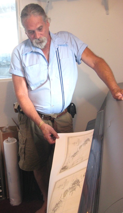
The company uses a 42-inch wide Cannon printer to reproduce historic maps of Hawaii.
Now they’re working on proposals, contacting experts who have already written extensively on the subject like Gary Fitzpatrick and Riley Moffat whose scholarly books on early mapping of Hawaii are well known, and searching for sponsors and venues to give these maps the popular exposure they deserve. They think if their show is successful the concept could have many other applications for museums, libraries and archives.
“Our goal is an interactive exhibit,” Neal said; “See it, hear it, touch it, and be able to buy the maps in reproduction at an affordable price if they want them.”
See the videos on the mapping of Hawaii mentioned earlier at the following links:
Polynesian migration and voyaging canoes
www.youtube.com/MappingofHawaii#p/a/u/2/mGYbIUB8xeM
The voyages of Capt. Cook
www.youtube.com/MappingofHawaii#p/a/u/1/wKSjLcO4sMk
Later European Mapping of Hawaii
www.youtube.com/MappingofHawaii#p/a/u/0/YrDRcDju1wU
-----
AE Monthly writer Susan Halas can be reached at wailukusue@gmail.com